Lampang
Lampang
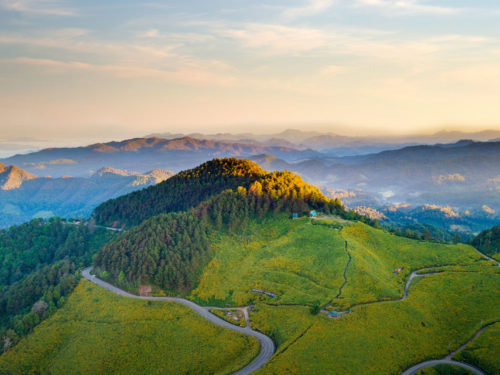
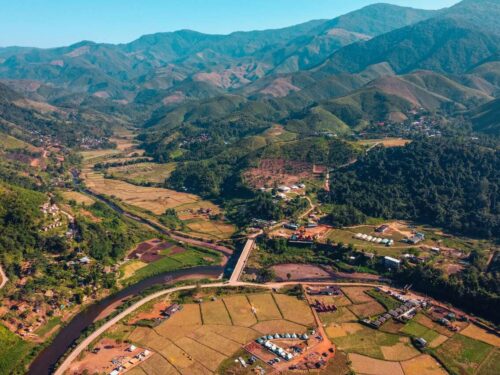
Lampang Province is generally a plateau with high mountains line from the North to the South and there is a river basin in the center of the province. According to the physical characteristics of Geomorphology, Lampang province has an area of plains surrounded by mountains. There is the longest and widest inland basin in the North called “Lampang Reservoir”.
History
During King Rama V’s reign in 1892, Thailand officially recognized Lampang as a province.
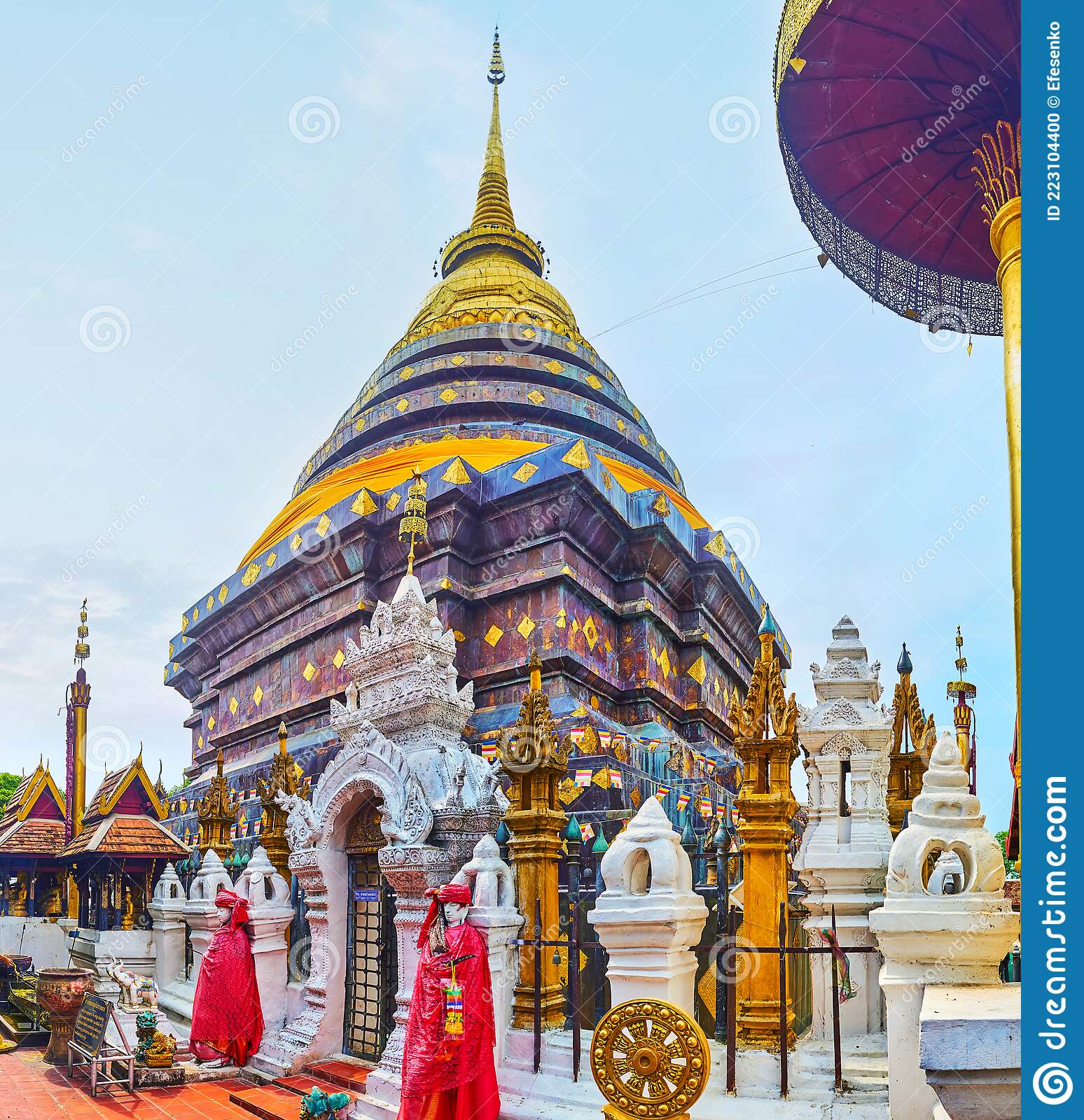
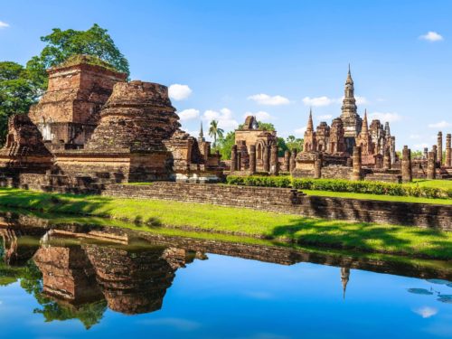
The local people have still preserved both the ancient traditions and customs. The province’s unique features include conventional architecture, temples and horse-drawn carriages, magnificent natural sceneries and a critically famous modern conservation institution with a colonial past of elephant logging.
‘White rooster’ is recognised as the symbol of the city since it is ubiquitous at every corner in this area like buildings, bridges, and road sides.
Weather
Thailand experiences three distinct seasons in a tropical climate. Early March through mid-May is the start of the summer. The hottest month is April, when the weather is humid. Midway through May, the rainy season starts. Winter typically lasts from November through February. The month of January has the coldest weather overall.
Since the province is located in a basin that resembles the bottom of a pan, the region experiences sweltering heat all year round. The winters are very chilly and the summers are very scorching.
How to get there
There are three common transportation means to transfer from Bangkok to Lampang.
By car : 602 km. from Bangkok along Paholyothin highway
By train : 625 km. from Bangkok
By plane: about 45 minutes from Bangkok
